Saturday was a full day at sea on our way to Stockholm. There are two reasons it takes so long to go from Copenhagen to Stockholm. First we're told the water is too shallow for the large ships to go directly under the Malmo bridge and the alternative is to go all the way around the west side of Denmark. The second reason is that the journey up the archipelago to Stockholm is quite narrow and very long, and a slower speed is needed to navigate the islands and obstacles. This part of the journey takes about 4 hours each way.
Here are a few of the photos taken from the ship while at sea.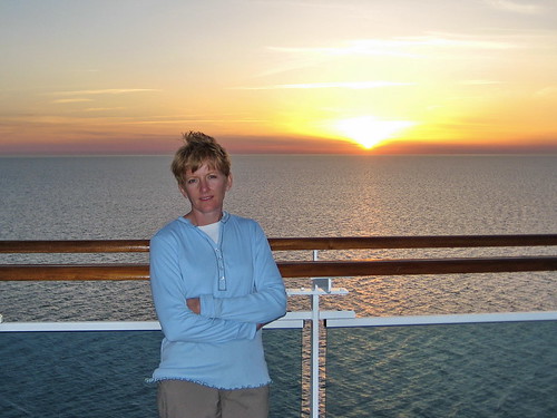
Sunset over the Baltic on Saturday night.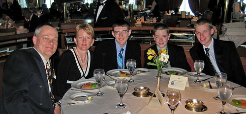
Formal dinner in the dinning room.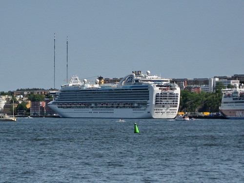
The Crown Princess docked at Stockholm.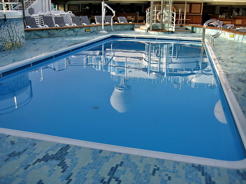
The stillness of the reflection off the swimming pool that shows how calm the seas were.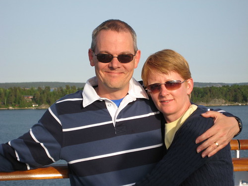
Sunday evening outside Stockholm.
Sunday, June 01, 2008
At Sea


Saturday, May 31, 2008
Copenhagen and Embarkation
We enjoyed our second day in Copenhagen with wonderful weather and more exploration. We first went to see the famous little mermaid statue and was disappointed by the low tide that allowed a mass of tourists to climb up her and pose for pictures. We waited about 20 minutes before I had a clear enough view for this snapshot.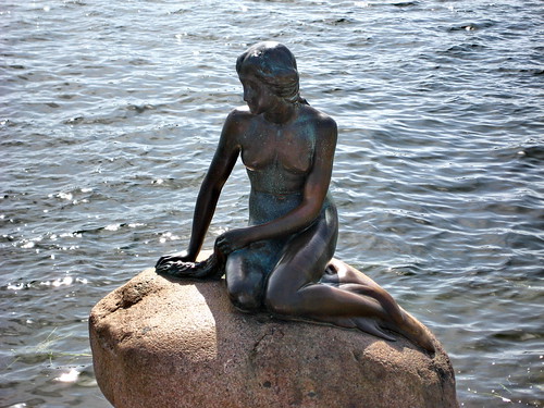
From there we visited the Museum of Danish Resistance. This museum holds artifacts from WWII during Denmark’s captivity by the Nazis and describes the suffering and sabotage techniques used during that period.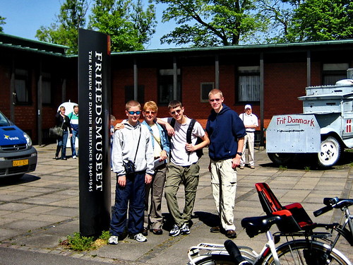
Austin became our map reader and guide today as we walked another 10 miles around the old town area and explored some shopping and other famous sights.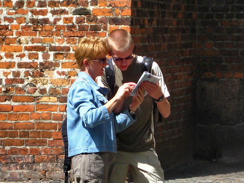
We ended up at the Rosenborg Castle, which is well guarded keeping place for the crown jewels of Denmark. We toured the castle and got a close look at the spectacular crowns and other jewels of the monarchy.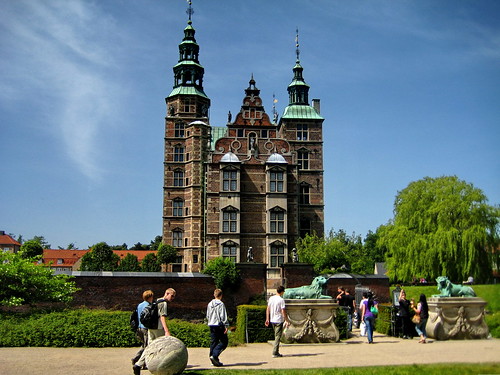
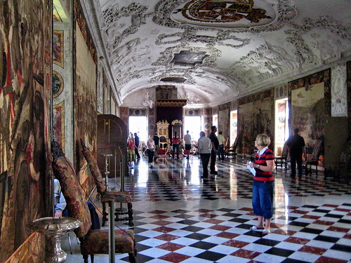
This picture above shows the throne room in the castle that was occupied in the 17th century. The picture below shows a closer view of the throne of King Christian IX.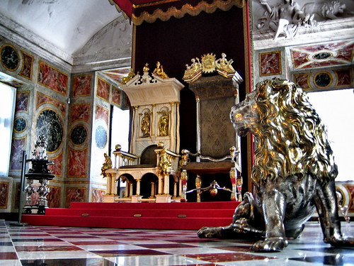
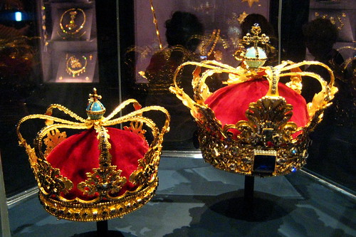
These are some of the close-up photos of the Danish crowns.
Finally, we boarded the Crown Princess and set out for our cruise from Denmark’s harbor. The last photo shows the view of a small ancient fortification in the harbor juxtaposed with the more modern wind turbines and the new bridge to Malmo in the far distance.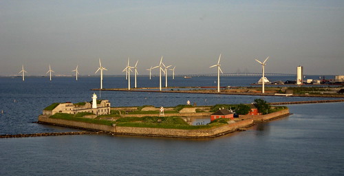
More pictures of Copenhagen are on the Flickr Slideshow.
Click the GPS-track-log to see a map of our walking tour.
Thursday, May 29, 2008
Late Evening in Copenhagen
First we want everyone to know we are safe and left Iceland today just before the earthquake. If you haven’t heard, there was 6.2 earthquake just south of Reykjavik this afternoon. I forgot to mention in the previous entry that the area of Iceland south of Reykjavik to the Airport looks very much like the area of Craters-of-the-Moon in central Idaho. The bulging lava fields cover the landscape all the way to the shore. As we were riding the bus through that area today and saw the massive cracks in the surface, I wondered out loud how frequently they had earthquakes. Our flight departed on time at 1:15 PM local time.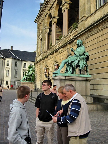
Where are we again?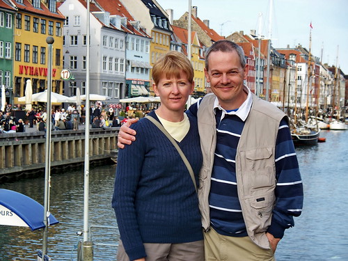
Ah, we are in Copenhagen.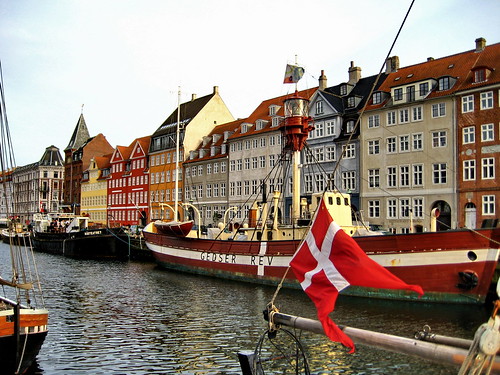
Great views of the sidewalk cafes and ships on Nyhavn Street.
We had our only dinner in Copenhagen this evening after 9PM at one of those sidewalk cafes. The photo shows the wonderful grilled salmon from the Skipperkroen restaurant – about $50. 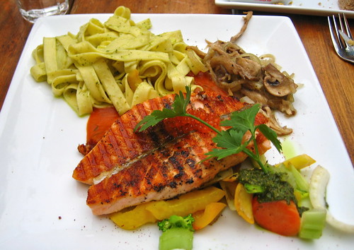
We enjoyed some street musicians playing near the restaurant and you can see a 10 second clip below: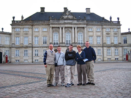
After dinner, we walked to the Amalienborg Palace. This picture was taken with available light at 9:28 PM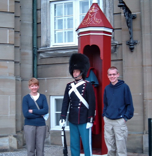
Finally Kenny snapped this one after coaxing one of the palace guards to pose.
Wednesday, May 28, 2008
Postcards from 66° North (Iceland)
While it was a really long day with the jet-lag, it was a great day in 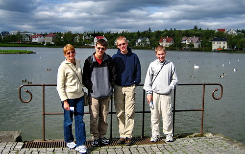
This is Tjornin Lake
We walked all over town today for a total of 8.7 miles. We felt like we had to keep moving to stay awake. The weather was cool, ranging from about 45° F to 60° F (what did you expect is it
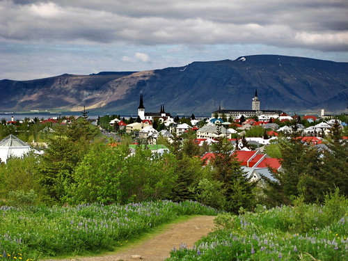
The pictures show some of the great sights we saw. We also spent some time relaxing in the Laugardalslaug
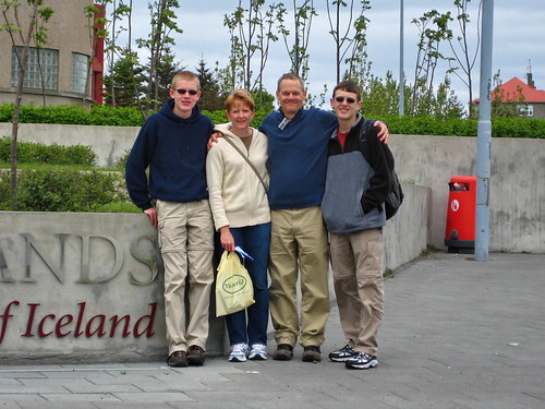
This picture was taken at the National Museum.
The prices are extremely high, so we’re glad we are not staying too long. Imagine the prices in some remote island resort town like 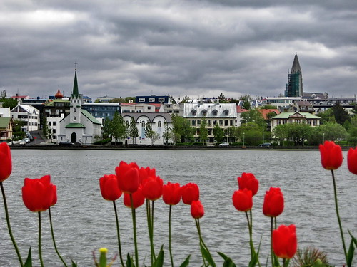
Reykjavik city center, overlooking Tjornin Lake.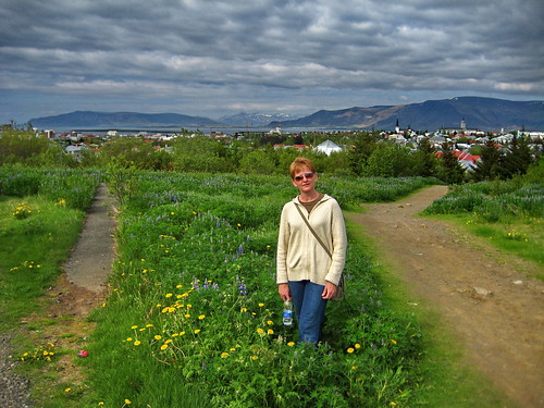
Near the Perlan Saga Museum overlooking the city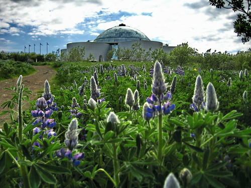
The Perlan Saga Museum from the lupine fields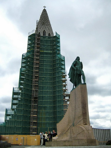
Lief Erickson and the Skolavorduholt church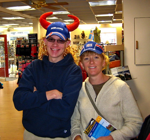
Shopping for hats.
Sunday, May 25, 2008
Preparations & Blog layout changes
I've made a few changes to this page in preparations for the next trip. As you can see the background and color scheme is new, I find the black background helps the pictures stand out a bit more.
I also added a new widget on the right sidebar at the top. It now shows a live picture from the bridge of cruise ship we will be aboard. Notice a few things: The time shown is GMT, not local time aboard the ship - we will be crossing three time zones en route. Here are the offsets:
Iceland = GMT;
Denmark, Sweden, Norway, Poland = GMT+2 hrs;
Estonia, Finland = GMT + 3 hrs;
Russia (St. Petersburg) = GMT + 4 hrs
Also notice that just because it looks like daylight, doesn't mean it is daytime. I saw some pictures recently that were just after midnight and the sun was coming up! Recall that we will be very far north in the Baltic Sea and the nights will be very short. Also note that sometimes the webcam points off to sea in the direction of travel and other times it points back to the deck.
Right below the webcam from the ship, you'll see a Flickr slide show. These are pictures from my previous travels and other photos. If you click on that image, you'll open a new page showing my Flickr photos. From there you can browse through older photos and make comments too.
Maps and Locations: Below the Blog Archive, you'll see a box with links. One of the links says: Open Google Earth KML File. This will download a special file that is designed to be opened with Google Earth. If you have Google Earth installed, and you open that file, you'll see some of my photos loaded on the map, pinned to their location on the earth.
I may also be adding additional mapping data on the GPSed.com site, such as this one from a previous trip: http://gpsed.com/track/6062241368334142907. If I do I will post a new link.
One other option, which shows the location of most of my travel photos on Flickr is to use the Flickr Map link and navigate and zoom the map to see where the pictures are located. This map is based on Yahoo Maps, which may be more familiar if you don't use Google Maps.
Sunday, May 18, 2008
New Orleans test run
I'm in New Orleans on business and tried to do a test-run of the GPSed software to upload and post some track-logs while walking around. There seemed to be a few glitches in the software or operation that made it almost unusable. Anyway you can see the attempted track log at this link, but since it looks like I went to the North Pole, that is what I named the track-log!


Saturday, May 17, 2008
Erie Balloon Festival
We got up before sunrise today to join the crowds watching over 60 hot air balloon launching in nearby Erie Colorado. Here are a few pictures I snapped this morning.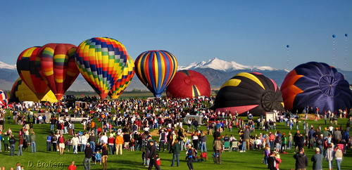
(Click either picture to see the larger version on Flickr.)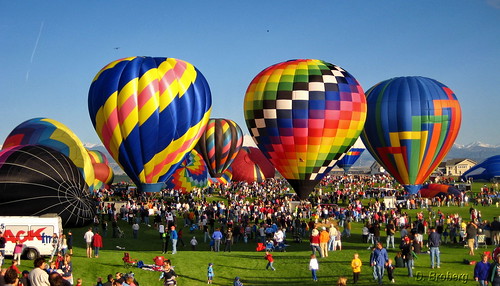
Where is Erie, Colorado? (map)
Wednesday, May 14, 2008
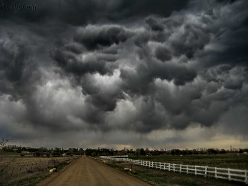
Dark Clouds
http://www.cabletechtalk.com/tech-discussions/2008/04/25/are-storm-clouds-headed-your-way/
(Click the photo to see the larger version on Flickr.)
Friday, April 25, 2008
Thursday, April 24, 2008
Road trip report: CO to IA
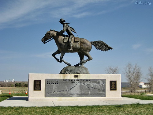
Our first rest stop was at the Colorado Welcome Center near the boarder of Nebraska. Since our route is tracing the old Pony Express route, this picture taken at the rest stop is appropriate.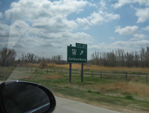
Later along the way, we thought we'd been whipped into some sort of time-space disruption when we looked out the window and saw the exit sign for another city we are planning to visit in Sweden this summer!
I'll have more pictures of the campus tomorrow. Hopefully it will stop raining long enough to get some.
Saturday, April 19, 2008
Double Eagle Days

Becky and I got up this morning just after sunrise for our run up the dirt road. It was a gorgeous spring morning and we saw the White Pelicans in the pond nearby. After we returned, I decided to grab the camera and head back to the pond for a shot of the Pelicans.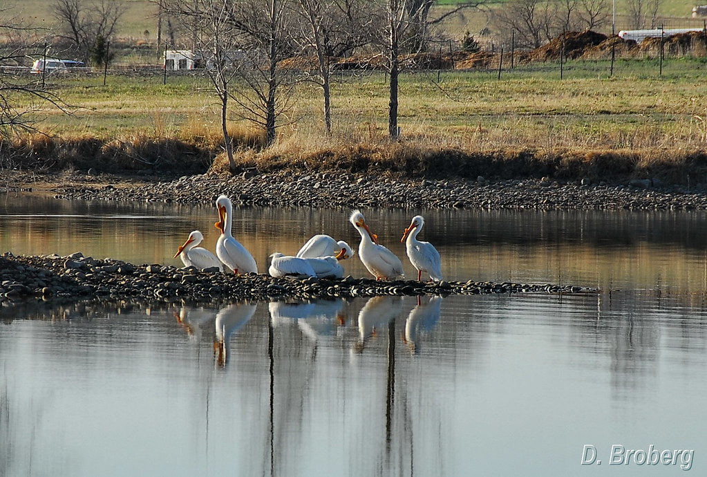
Just as we were walking to the pond, a large Bald Eagle flew right toward us. I started fumbling to get the camera ready and snapped a quick shot as he flew by. (Click any picture to see it full sized. )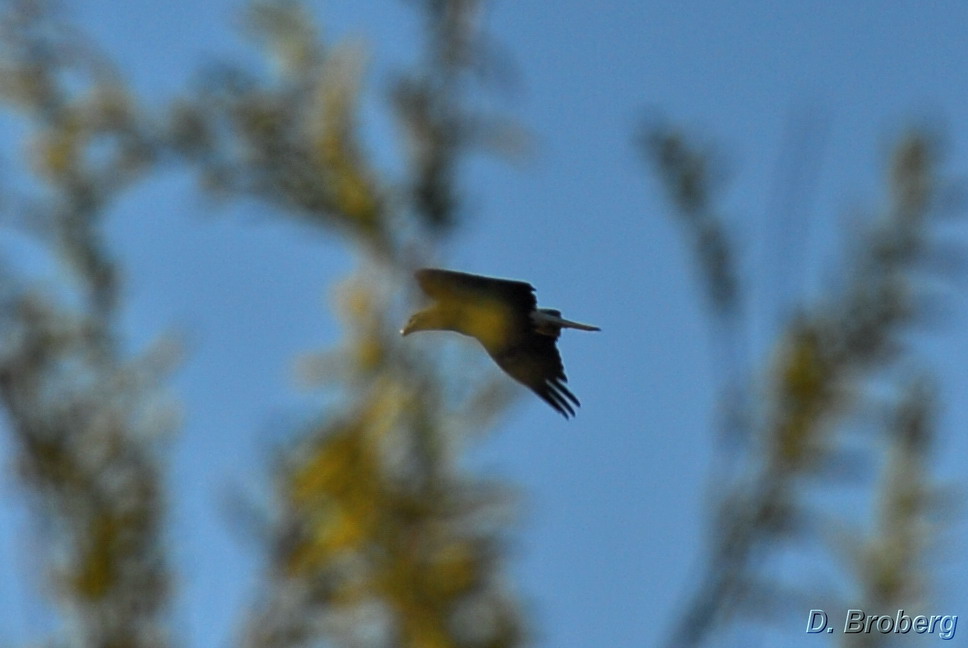
Then after we took the shot of the Pelicans roosting on the small island of the pond, and I had once again put the camera away the same eagle flew back the other way. Again I quickly tossed the lens cap on the ground, turned the camera back on and snapped one just as he passed behind the trees.
We've seen many eagles over the years here in Colorado, but this was the first time I actually caught one on the camera. A great morning!
Then later this afternoon, we were surprised to see a pair of huge golden eagles soaring in the updrafts right over our house. I grabbed the camera and snapped another shot. It was truly a double-eagle day!
Tuesday, April 15, 2008
Web-Tech-101: Adding My Blog to Your Homepage


Do you use my.yahoo.com or www.google.com as your default browser home page? If so you can easily add my blog as a tab or module on your page so you'll never miss a posting or my new pictures. Here is how to do it:
Look on the right hand navigation bar and find the box that starts with "SUBSCRIBE TO" - like the one shown in the top picture above.
When you left-click on the box marked "Posts" it will reveal a drop-down menu like the one shown in the second picture above.
These are your current choices for adding an RSS feed to your home page. Choose the flavor that matches your default search or home page then simply click that button. It should link you to your own page with a permission box that asks you to approve the new content being added to your page. After you confirm that by clicking OK, you'll have a box or tab that shows updates from my Blog. It's that simple!
Wednesday, April 09, 2008
Friday, April 04, 2008
Cedarville, Ohio
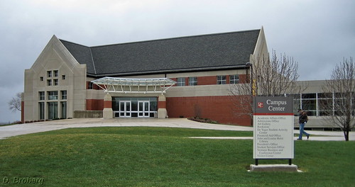
 Cedarville University campus (on a rainy day in April). The first picture is the Student Center building that houses the cafeteria, lounge, coffee shops, bookstore, computer labs and main theater auditorium. (click on any picture to see a bigger version)
The next photo shows the Chapel building. The chapel services are attended daily by all students and faculty at the same time.
The next photo is inside the chapel.
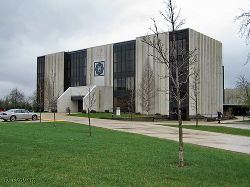
The Fourth photo shows the Engineering building
Inside the library.
Inside the athletic center.
Download the GoogleEarth KML file

 Posts
Posts

